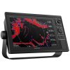
GARMIN Marine GPS with Sonar Chartplotter GPSMAP 1022
1.975,99 € 1.778,39 €
In stock
Eligible for Worldwide free shipping!
GARMIN Marine GPS with Sonar Chartplotter GPSMAP 1022
The Garmin GPSMAP 1022 is a premium 10-inch chartplotter designed for serious boaters and anglers who require reliable navigation, advanced sonar support, and seamless system integration. Built with Garmin’s trusted marine technology, this device delivers powerful performance and flexibility for a wide range of marine applications.
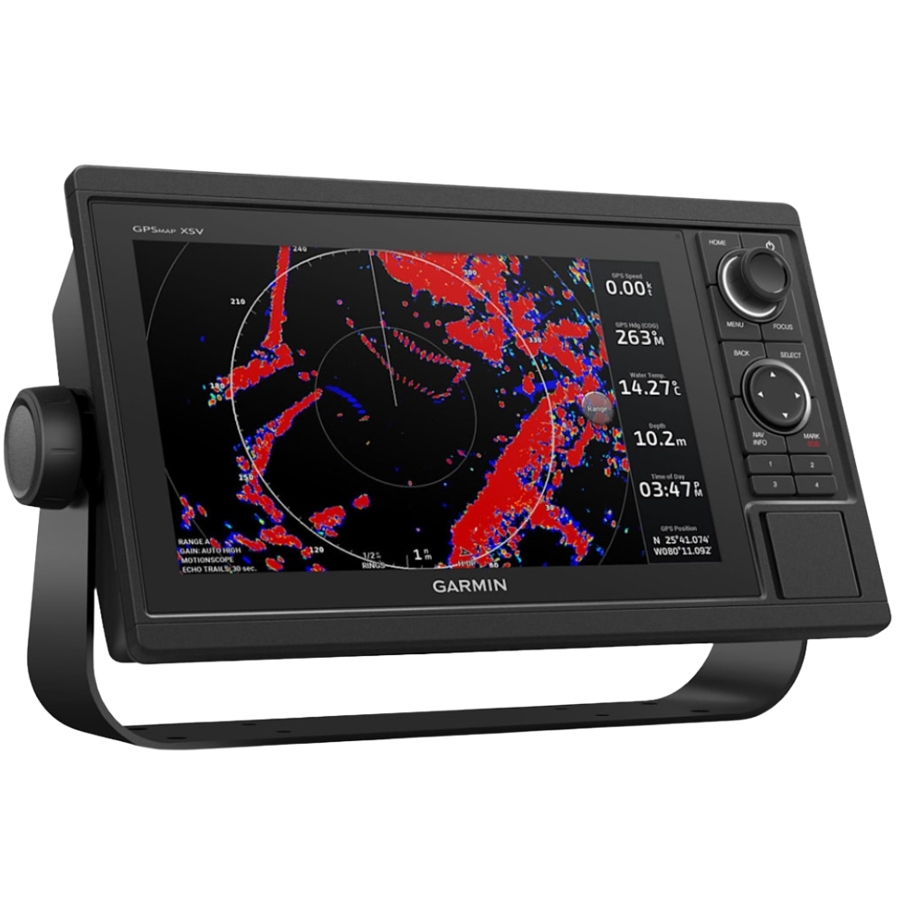
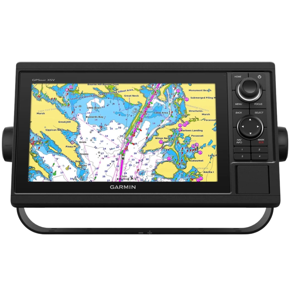
Featuring a bright 10-inch display with keypad control, the GPSMAP 1022 ensures excellent visibility and ease of use in all weather conditions, including rough seas. Its intuitive interface allows quick access to navigation tools, charts, and sonar data, making it ideal for both offshore and inland use.
The system supports advanced Garmin sonar technologies, including traditional CHIRP sonar, ClearVü, and SideVü scanning sonar, providing detailed underwater imaging for precise fish tracking and structure identification. This makes it a strong choice for both recreational and professional fishing.
With full networking capabilities, the GPSMAP 1022 can integrate with radar systems, autopilot, AIS, cameras, and other onboard electronics, allowing you to build a fully connected marine system. It also supports NMEA 2000 and NMEA 0183 compatibility for expanded connectivity.
The device is compatible with Garmin BlueChart g3 and LakeVü g3 maps, offering detailed and accurate mapping for coastal and inland navigation. Built-in Wi-Fi connectivity allows integration with the ActiveCaptain app for wireless updates, route planning, and smart notifications.
Designed for durability and performance, the Garmin GPSMAP 1022 is a dependable solution for navigating, fishing, and exploring with confidence.
Key Features
10-inch bright display with keypad control
CHIRP, ClearVü, and SideVü sonar support
Compatible with BlueChart g3 and LakeVü g3 maps
Full networking: radar, autopilot, AIS, cameras
NMEA 2000 and NMEA 0183 compatibility
Built-in Wi-Fi with ActiveCaptain app support
Reliable performance for offshore and inland navigation
Durable design for marine environments
In box:
GPSMAP 1022 chartplotter
Power / data cable
NMEA 2000 T-connector
NMEA 2000 connection cable (2 m)
Bracket kit with wheels
Flush mounting kit with gasket
Protective cover
Device masks with a rim
Documentation